The best way to get between a lot of these small Pacific islands is the United Island Hopper route, which starts in Guam and finishes in Honolulu. We took it from Guam to Chuuk, Micronesia, and then again from Chuuk to Majuro in the Marshall Islands. For people who are super interested in weird plane routes, it is one of the ones that’s on a lot of bucket lists. It was an interesting experience – the timing of the flights was often not ideal, and it was hard constantly stopping and having people get on and off the plane, because it meant that it was harder to sleep on the flights. But the views landing and departing from the various islands were pretty spectacular, and I’m glad the routes exist because it definitely made it easier to traverse the Pacific on this trip!
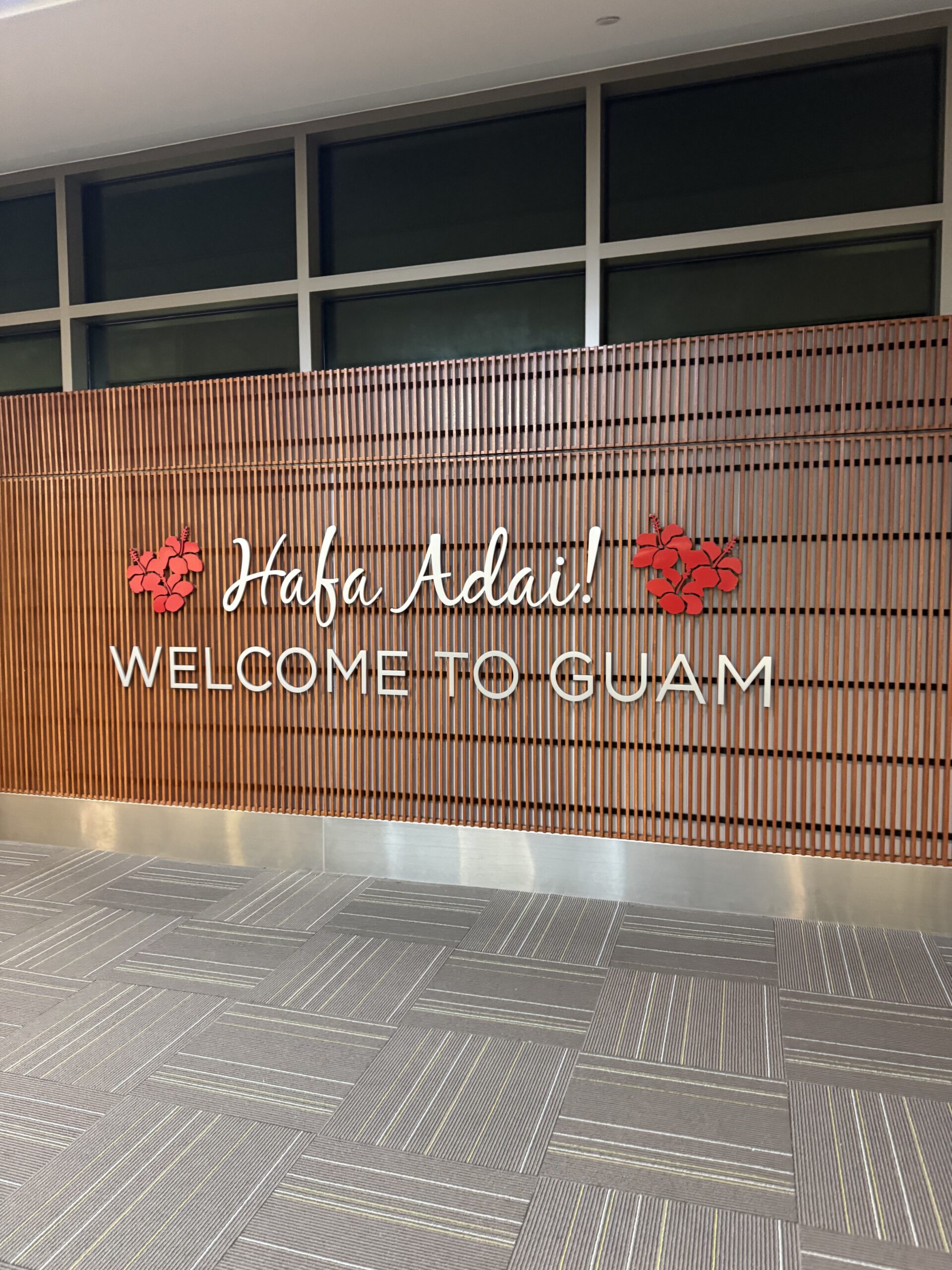
In order to start our United Island Hopper journey, we had to get to Guam. You may remember from my last post in Palau that we had gone straight to the airport after dinner for a late night (early morning?) flight. We were all a little loopy by the time we finally boarded, a little after 1 am. Two hours later, we landed in Guam! We didn’t have an incredibly long layover, but there was enough time to leave the airport and get a taste of the island.
Guam is a US territory. This was the first overseas US territory that I’ve been to, although hopefully not the last! The others, for those of you following along at home, are Puerto Rico, US Virgin Islands, American Samoa, and the Northern Mariana Islands. It was so strange to have American passport control, Global Entry, and TSA at this airport in the middle of an international trip like this. The airport infrastructure was really nice – outside of probably Taipei, it was far and away the nicest airport we flew through during the trip.
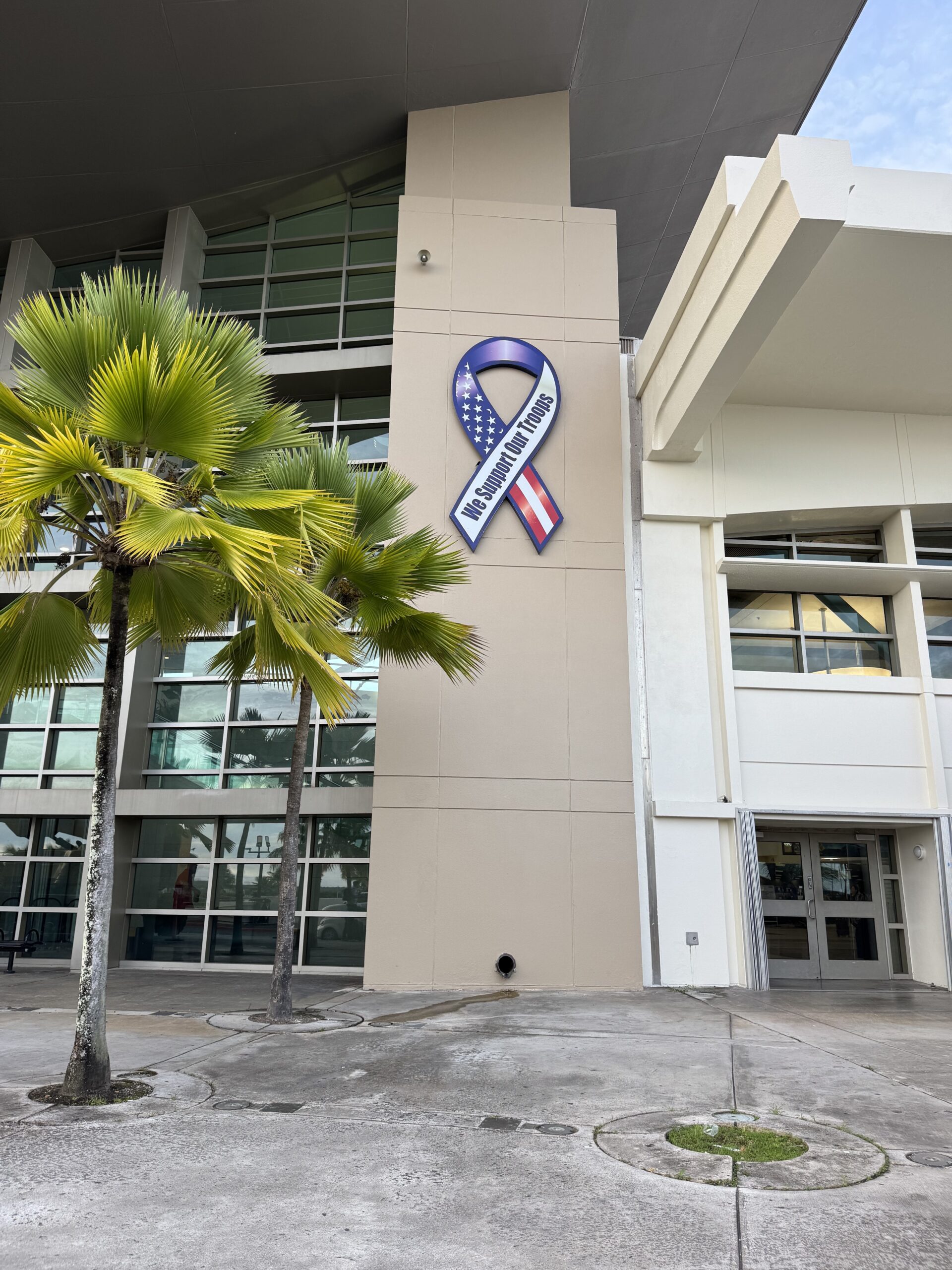
Guam has a large US military base, and according to Wikipedia, about 30% of its land is reserved for the military. A friend of mine grew up here because her dad was stationed at the base. There were signs in support of the military practically everywhere we looked. In general, there is a lot of US military infrastructure in the Pacific, for strategic reasons during WW2. When we were on the Island Hopper, there was a stop in the Marshall Islands where they noted that we couldn’t take pictures out the window because it was a US military base.
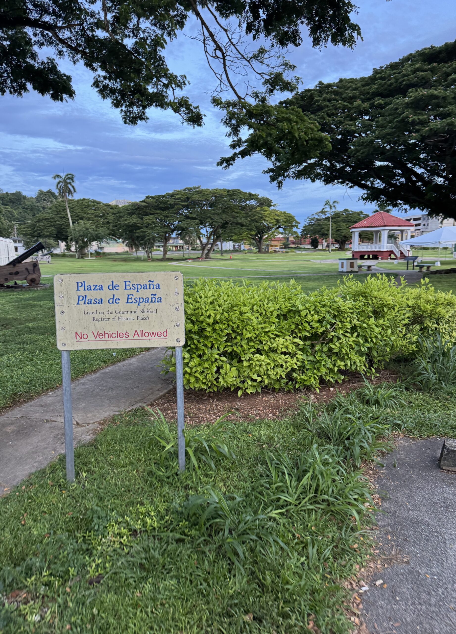
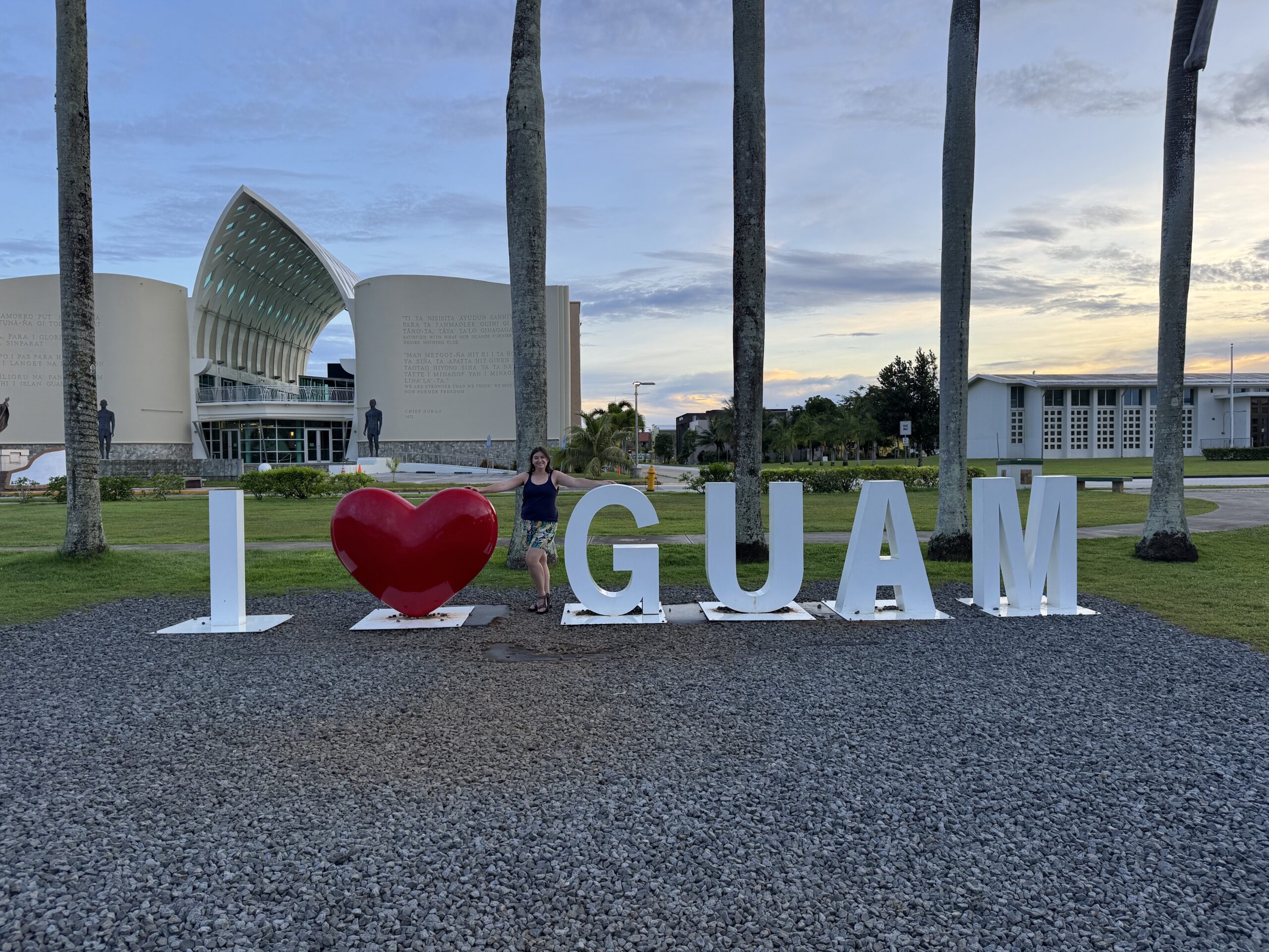
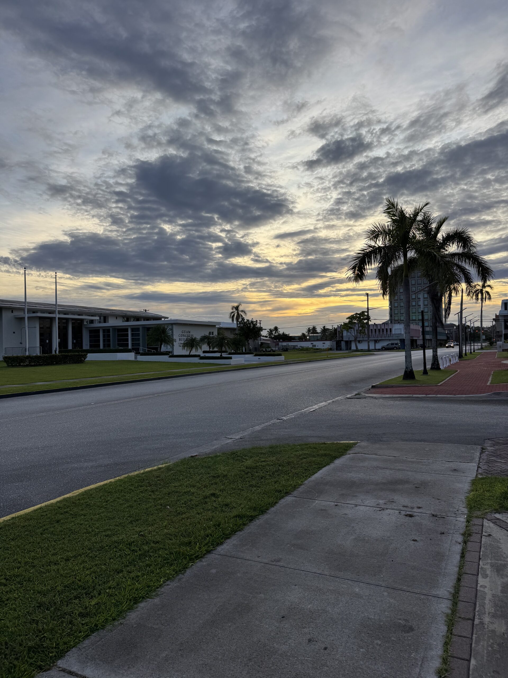
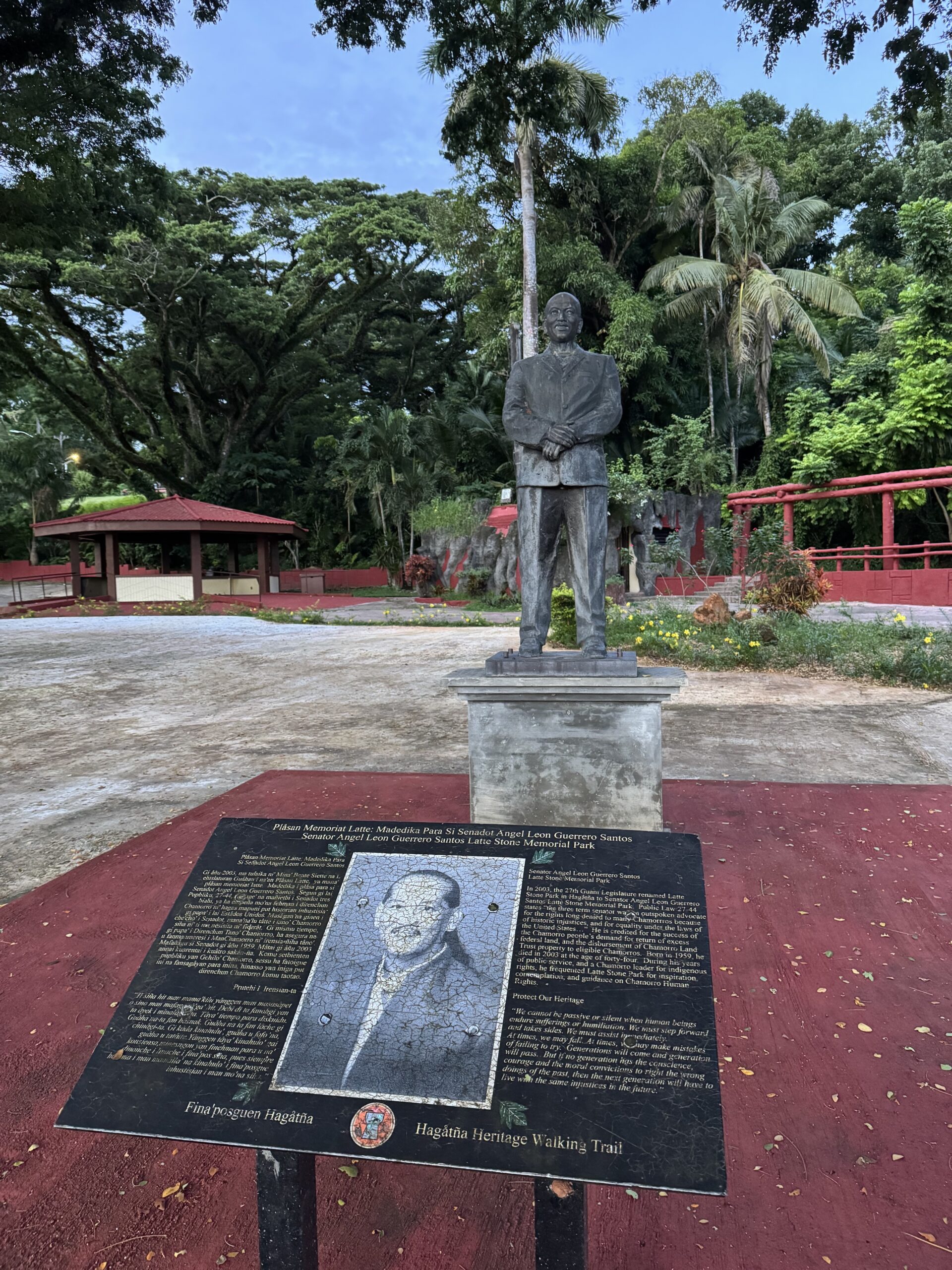
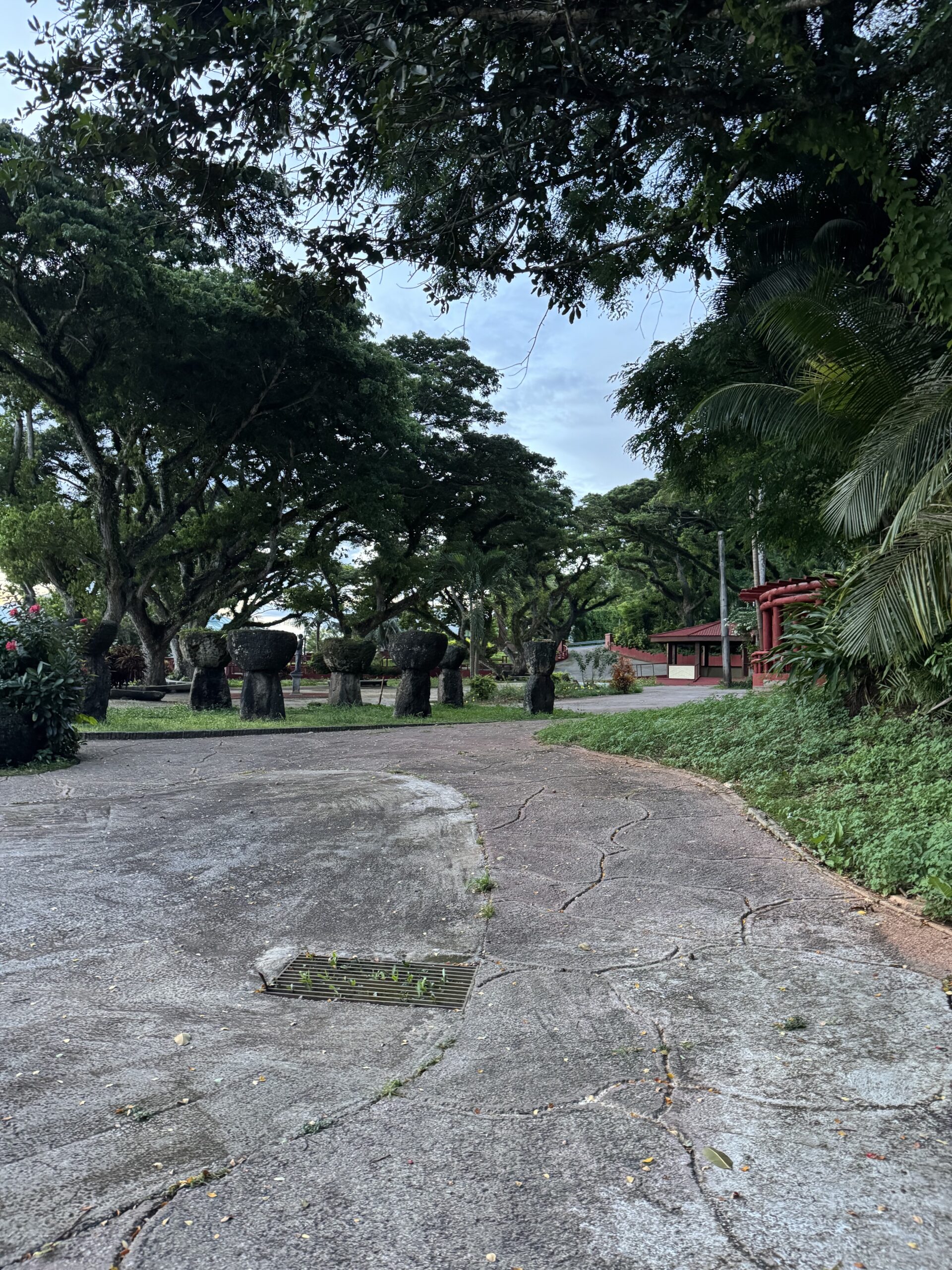
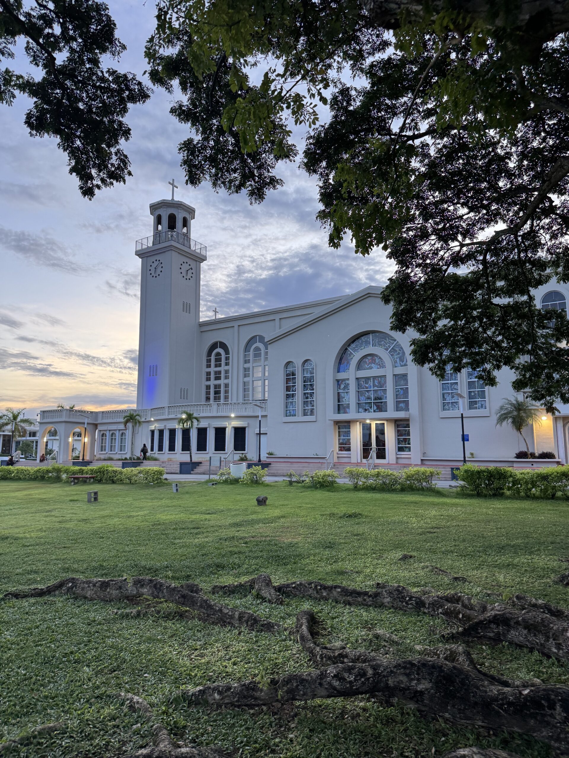
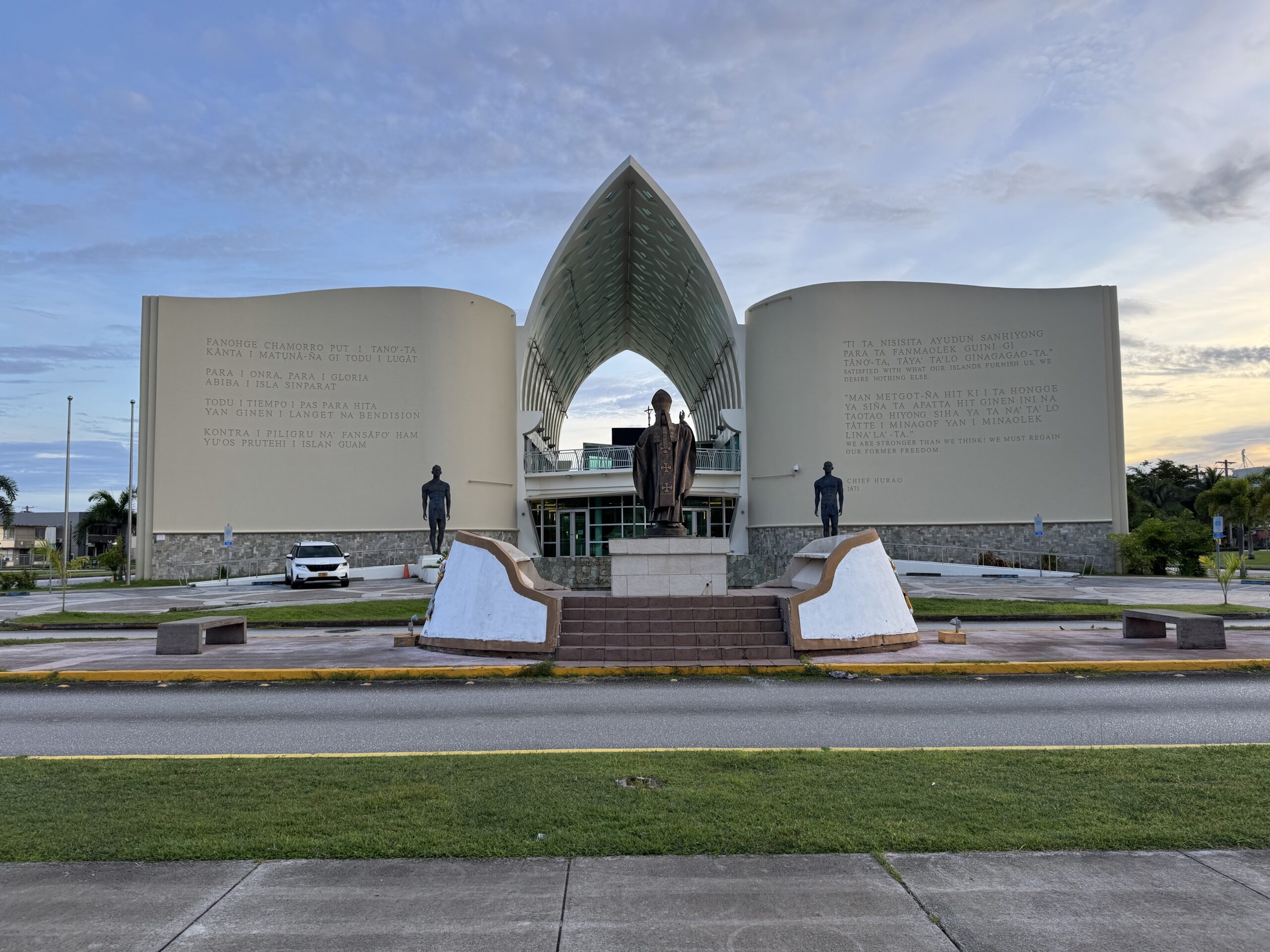
We headed into Hagåtña, which is officially the capital of Guam. We went to Plaza de España, which is a square with a lot of monuments and Spanish colonial buildings around. Given that it was so early that most shops would be closed, it was the best option for us to see something of Guam!
First impressions – I could definitely see a difference in the level of development between Guam and the other Pacific islands we visited later in the trip. It felt as though they had stronger infrastructure compared to Micronesia, Marshall Islands, Kiribati, and Nauru. From the airport to the roads to some of the very new restaurants and shops, it seemed to be doing fairly well.
Guam, like Puerto Rico, has expressed interest in US statehood. As a fellow resident of a place in the US that would like to be a state, the District of Columbia, I hope they are able to get more self-determination and more political representation moving forward!
All in all, I didn’t get to see much of Guam, but I am glad I got a chance to leave the airport and see a little of the island. As I’ve been on my journey to finish all 50 states, a logical next step would be to visit the overseas territories as well to see another dimension of the US. It isn’t the top priority for me right now, but it is certainly another consideration for travel!